About Me
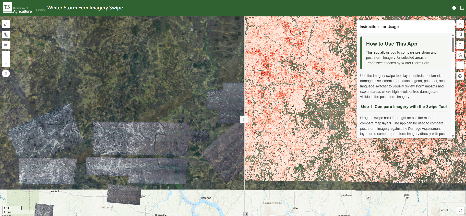
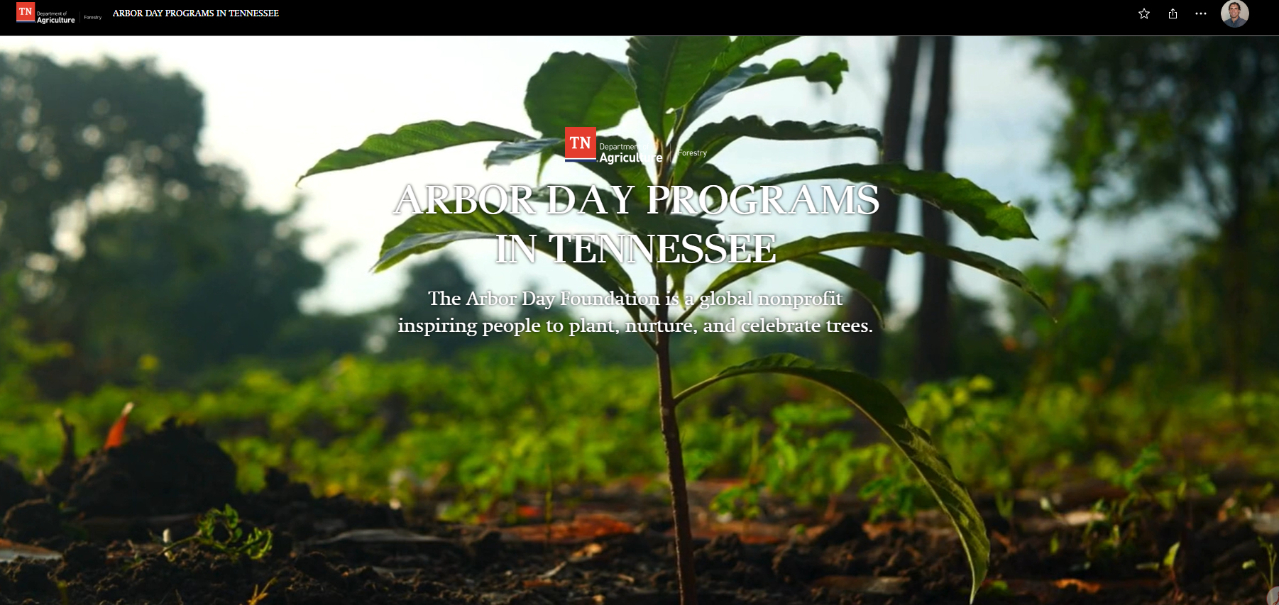
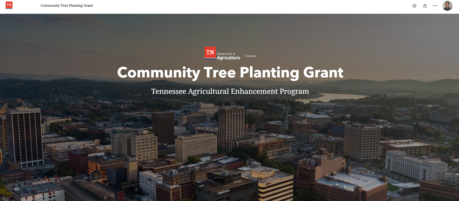
I am a GIS Manager and Data Scientist that bridges the gap between complex spatial data and actionable intelligence. With a decade of experience across the natural resources sector, I specialize in architecting and deploying geospatial programs. Currently, I lead the GIS and data programs for the Tennessee Division of Forestry, where I assist in overseeing the protection of millions of forest acres across the state.
My career is built on a foundation of efficiency and reliability at scale. My work ranges from the analytical (developing complex decision models) to the structural (establishing version-controlled repositories for organization-wide data integrity). Across every project, my focus is to move beyond data collection and deliver high-impact and highly reliable results that are both reproducible and efficient.
My Philosophy I believe that the most impactful solutions are built through rapid iteration and transparency. I avoid the "black box" approach, where logic is buried in over-engineered models. Instead, I move with speed to deliver early insights, refining them through a cycle of feedback and professional judgement. As George Box said, "All models are wrong, but some are useful." My mission is to ensure every model I build is not only useful and reproducible but also lean enough to adapt as goals and objectives evolve.
My Tech Stack My daily toolkit includes:
- Geographic Information Systems: ArcGIS Pro, QGIS, ArcGIS Online, ArcGIS Enterprise, Felt, Mapbox, Atlas.
- Languages: Python, SQL, R, JavaScript, HTML/CSS.
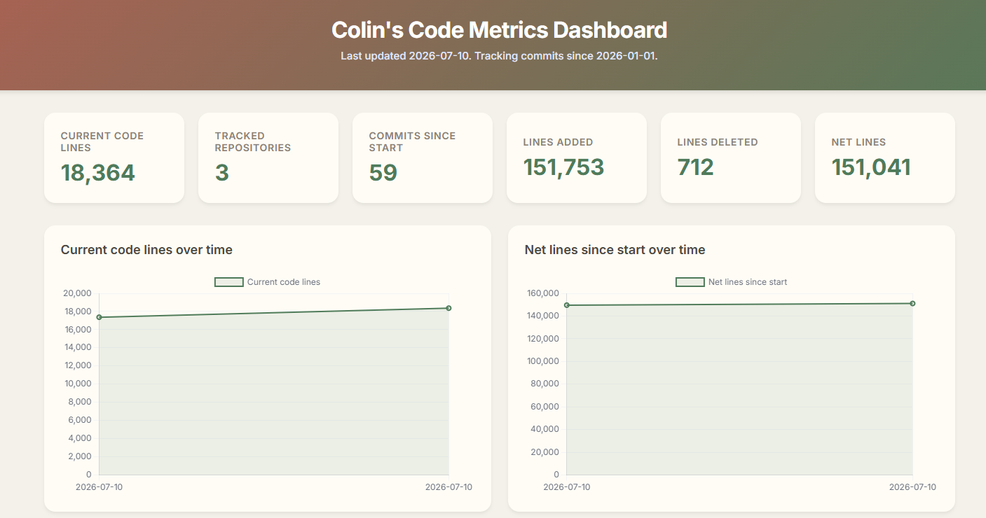
- Visualization: Blender 3D, Chart.js, Dashboards, Experience Builder, InstantApp, StoryMaps, Adobe Creative Cloud.
- Modern Dev: GitHub CI/CD, VS Code, RESTful APIs.
- Field Data Collection: Field Maps, Survey123, QuickCapture.
- AI: Google Gemini, Vertex AI, Codex.
Before I was a Data Scientist, I was an Airborne Reconnaissance Infantry Team Lead in the U.S. Army, a background that instilled in me an efficient execution and positive energy mentality I bring to every technical team I lead.
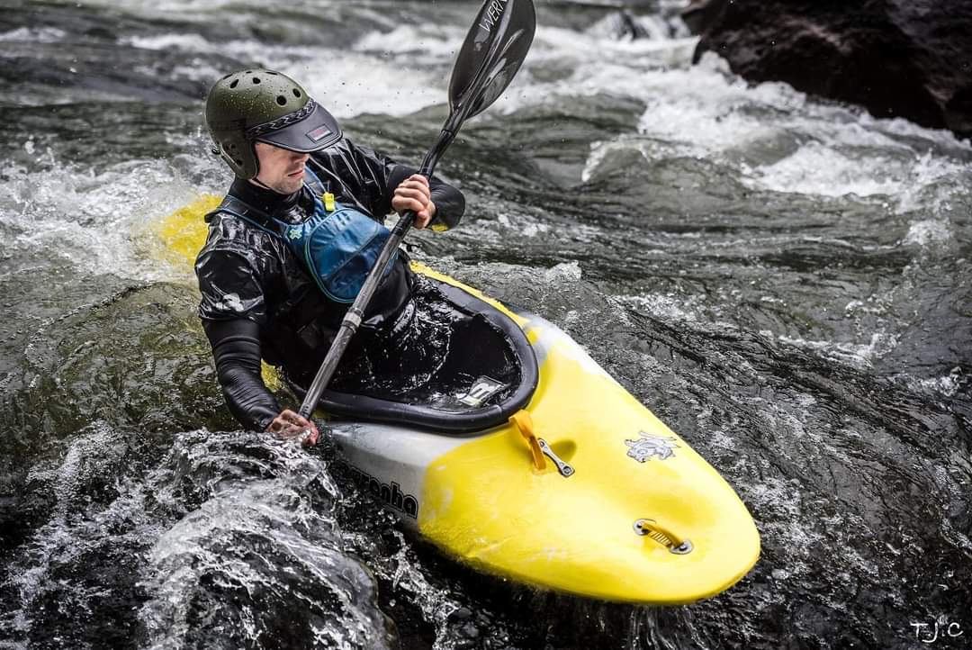
When I’m not working, you will likely find me disconnected in the great outdoors. I am having the most fun when I'm whitewater kayaking the Gauley River in West Virginia, gravel biking in the Appalachians, climbing the Lily Boulders near Obed, scuba diving the Racha Islands, or hiking around the Pacific Northwest. I live in Chattanooga, Tennessee (the *self proclaimed* geospatial capital of the world) with my wife, Jess, and our two dogs, Willow and Coconut.